Get In Touch

Get In Touch

Prefer a direct email or call?

Reach us at 0406 739 909 or ops@radialsystems.io

Better data, more collaboration, less rework, fewer site visits.

Accurate LIDAR measurement and AI powered processing for your projects

We offer the following capabilities

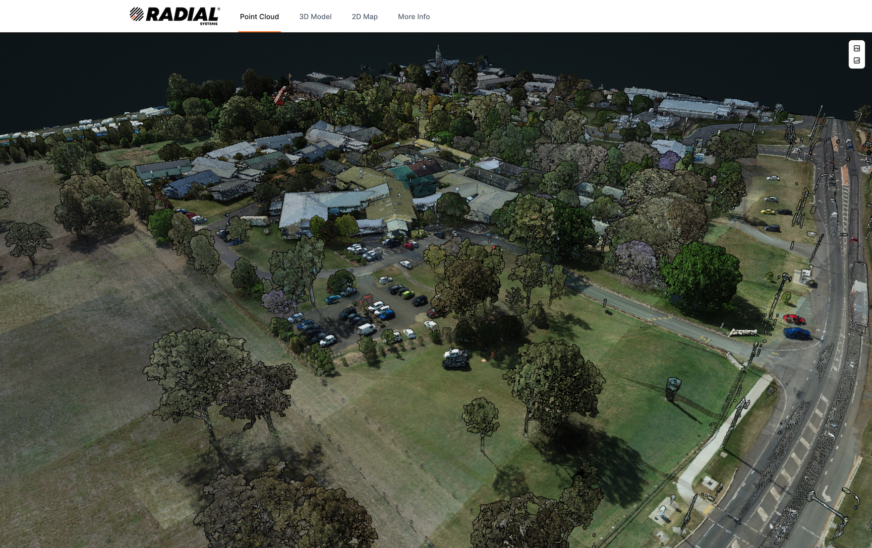
  • UAV LIDAR mapping and scanning for your projects
  • Contour, bare earth and surface models
  • Mapping for architecture, construction and precision agriculture
  • Infrastructure inspection and site / project monitoring
  • Cloud hosted ML classification and analysis jobs
  • Web based 3d visualisation of your laser scanned sites and assets
  • Automated processing, access and integration of spatial insights
  • Integration of 3d and 2d data between your systems
  • Aerial and Mobile laser scanning data acquisition and services
  • Software and consulting services for spatial processing
About Us

We are a UAV data capture, software and consulting company based in Brisbane, Australia.

Our mission is to provide fast turnaround, high quality spatial data and insights to your projects.

We deliver this capability through an innovative mix of drone platforms, sensors and software tailored to your projects needs.

With a focus on aerial laser scanning, we are constantly working on new ways to extract the most out of these unique datasets for the Architecture, Engineering, Construction and Agriculture industries.

Get in Touch